
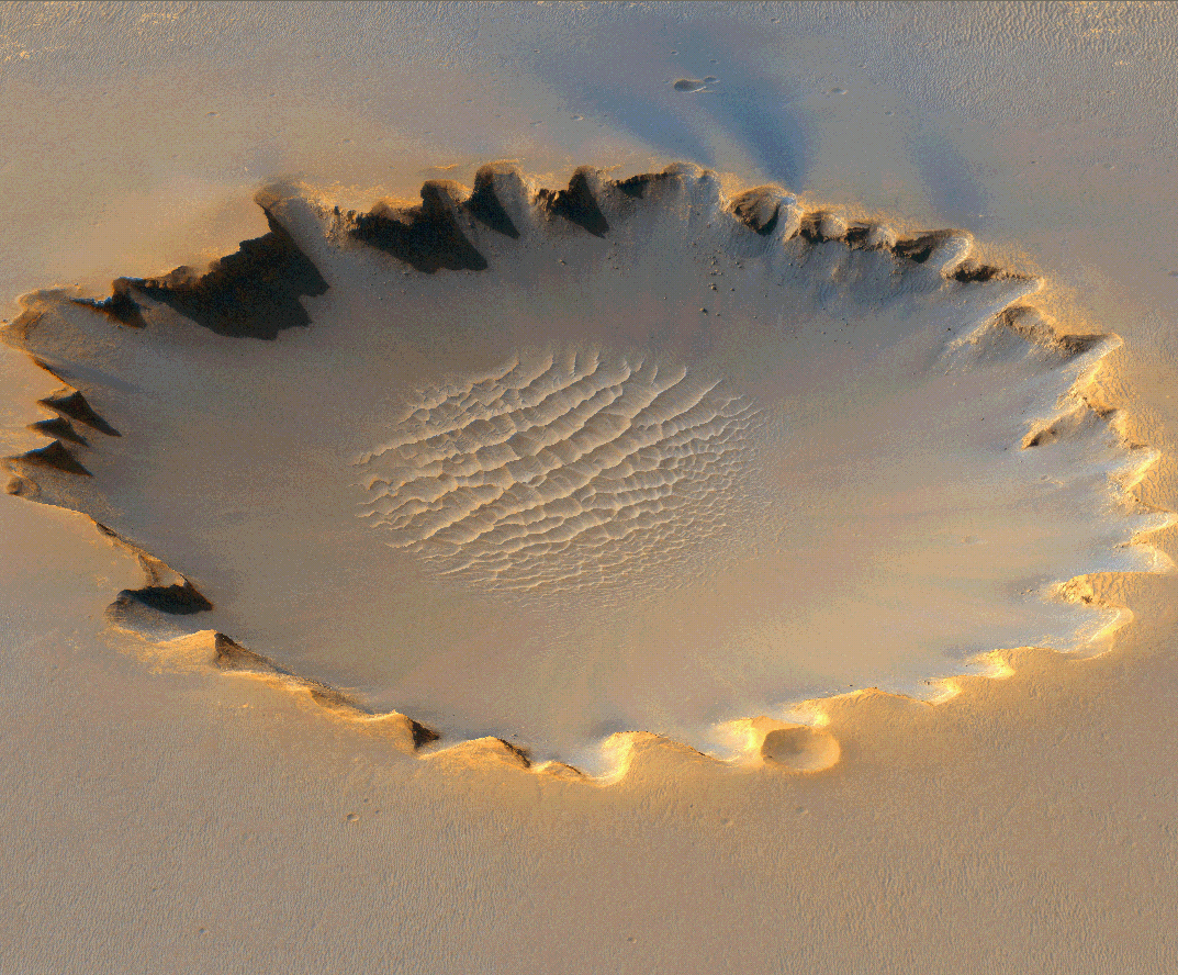
This digital terrain model covers the area that has been explored by the Mars Exploration Rover "Opportunity" on Meridiani Planum. It provides topographic data that have been very useful in Opportunity mission planning.
For example, the part of the DTM covering Victoria Crater was used in conjunction with rover observations to select a safe place to enter the crater. This subimage shows a perspective view of HiRISE color data laid over the DTM of Victoria crater, looking north. The selected entry point is at far left in this view, dubbed "Duck Bay."
Credit: NASA/JPL/University of Arizona/USGS
No comments:
Post a Comment